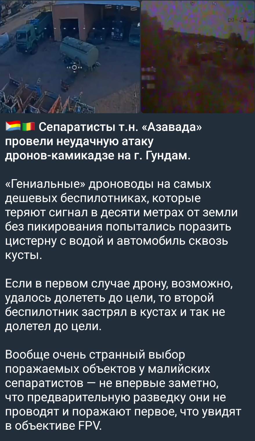
Geolocating a drone strike in Mali
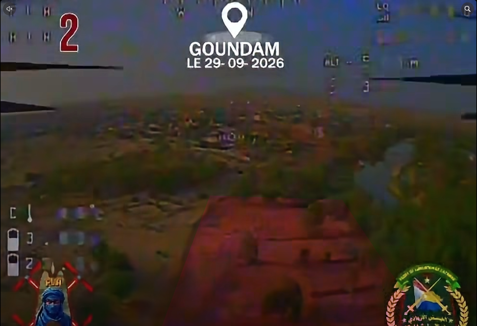
During the evening of the 29th of September 2026, the spokesperson of the Front de Libération de l’Azawad (FLA) posted a video showing a first person view of two different drones strikes allegedly targeting the Malian army (FAMa) and the Africa Corps. The post bears the following caption:
Ce matin, le FLA a mené une série de frappes de drones contre des positions des FAMa et des éléments russes de l’Africa Corps à Goundam. Ces frappes ont infligé de lourds dégâts matériels et humains aux positions ciblées.
Translation
This morning, the FLA carried out a series of drone strikes against positions held by the FAMa and Russian elements of the Africa Corps in Goundam. These strikes caused significant material damage and casualties at the targeted positions.
When looking at Goundam on OpenStreetMap, it has one area tagged as military: an ex-MINUSMA base which we would expect to be the area targeted by the FLA. However, nothing in the video matches this particular location.
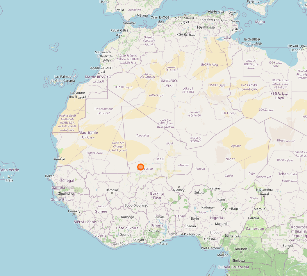
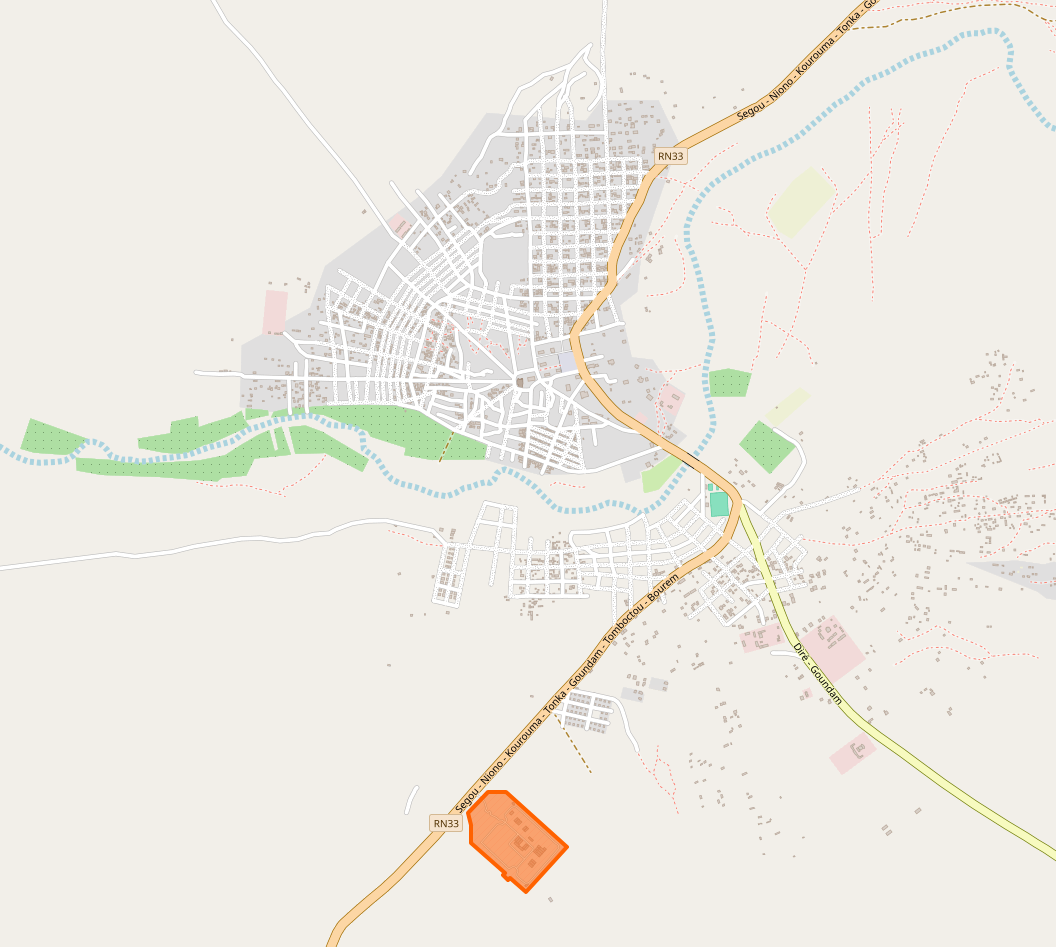
The area tagged as military is highlighted in orange.
Finding a candidate location
In these stills from the video we can distinguish a few things which are mentioned in the captions below.
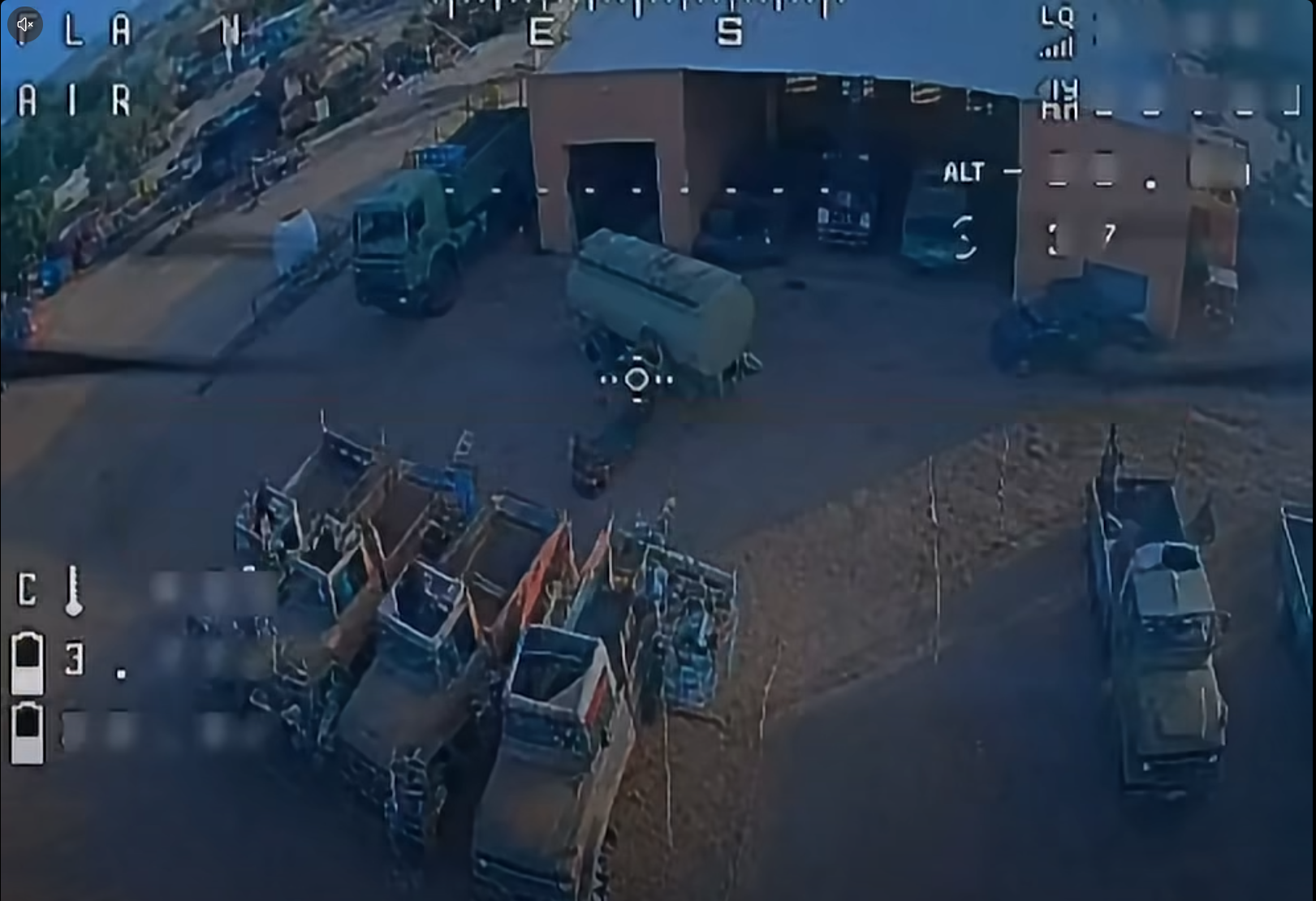
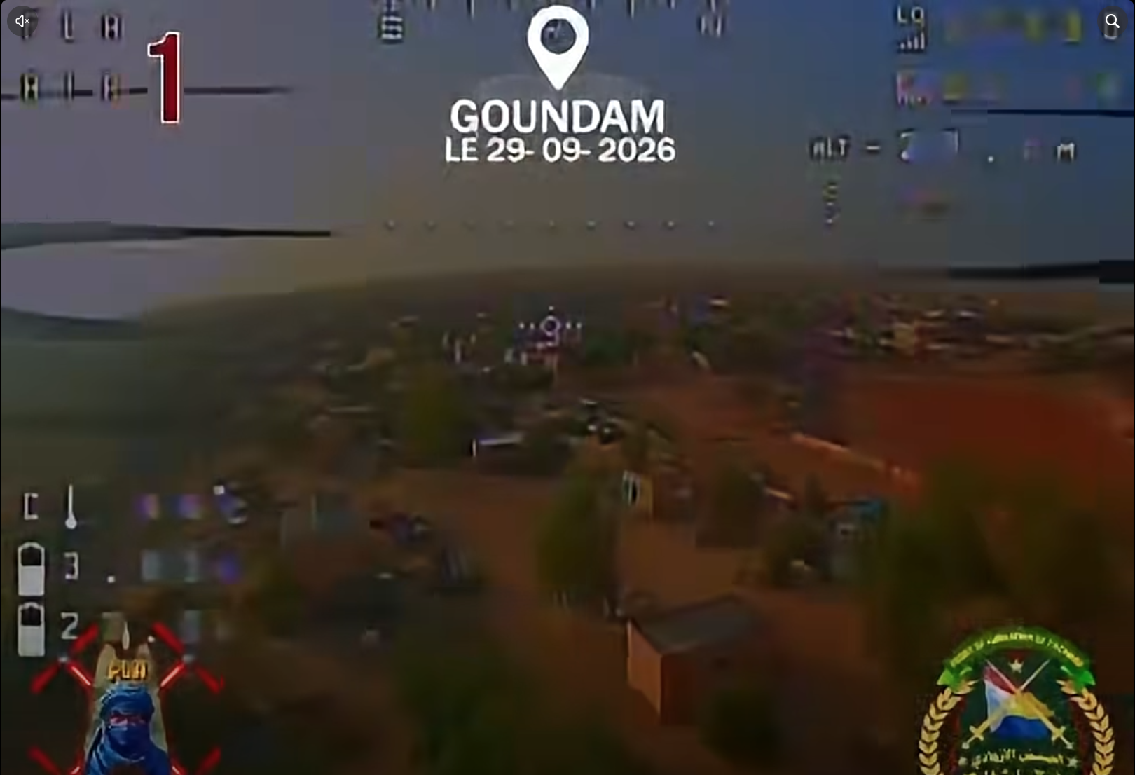
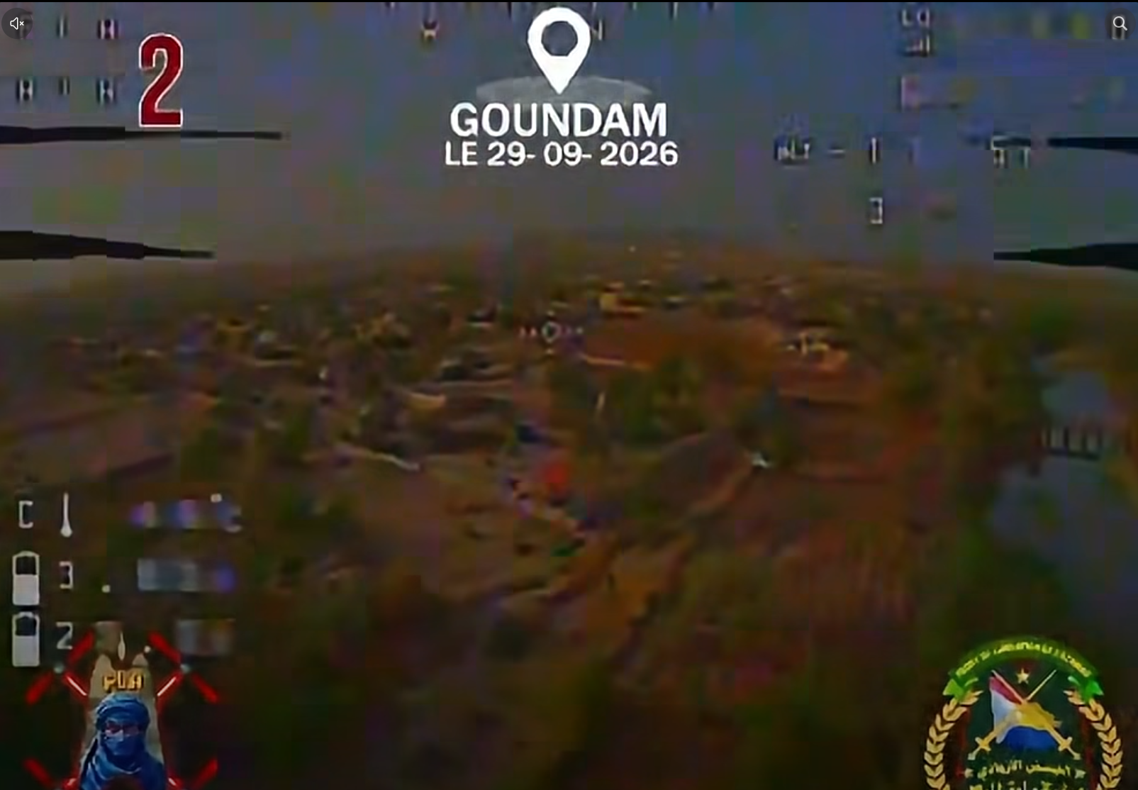
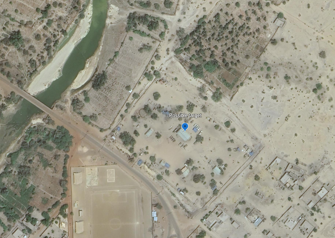
This is a tremendous help as there is only one bridge fitting this description in Goundam: a part of the Route Nationale 33. The small size of the city allows us to verify this using OpenStreetMap and Google Earth Pro. The drone flies slowly, keeping the river on its right and dives before crossing the bridge. This would make this location (16.41322°N 3.65451°W) a likely candidate. Let’s confirm this with the rest of the video.
Confirming the location
Analyzing the trajectory of the first drone, we can draw a rudimentary scene: the drone flies over a wall, passes some trees and a first structure, possibly a shed, takes a quarter turn to the left and dives toward the liquid container. This fits the Google Earth satellite imagery of the candidate location.
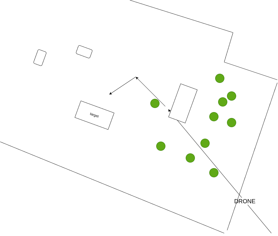
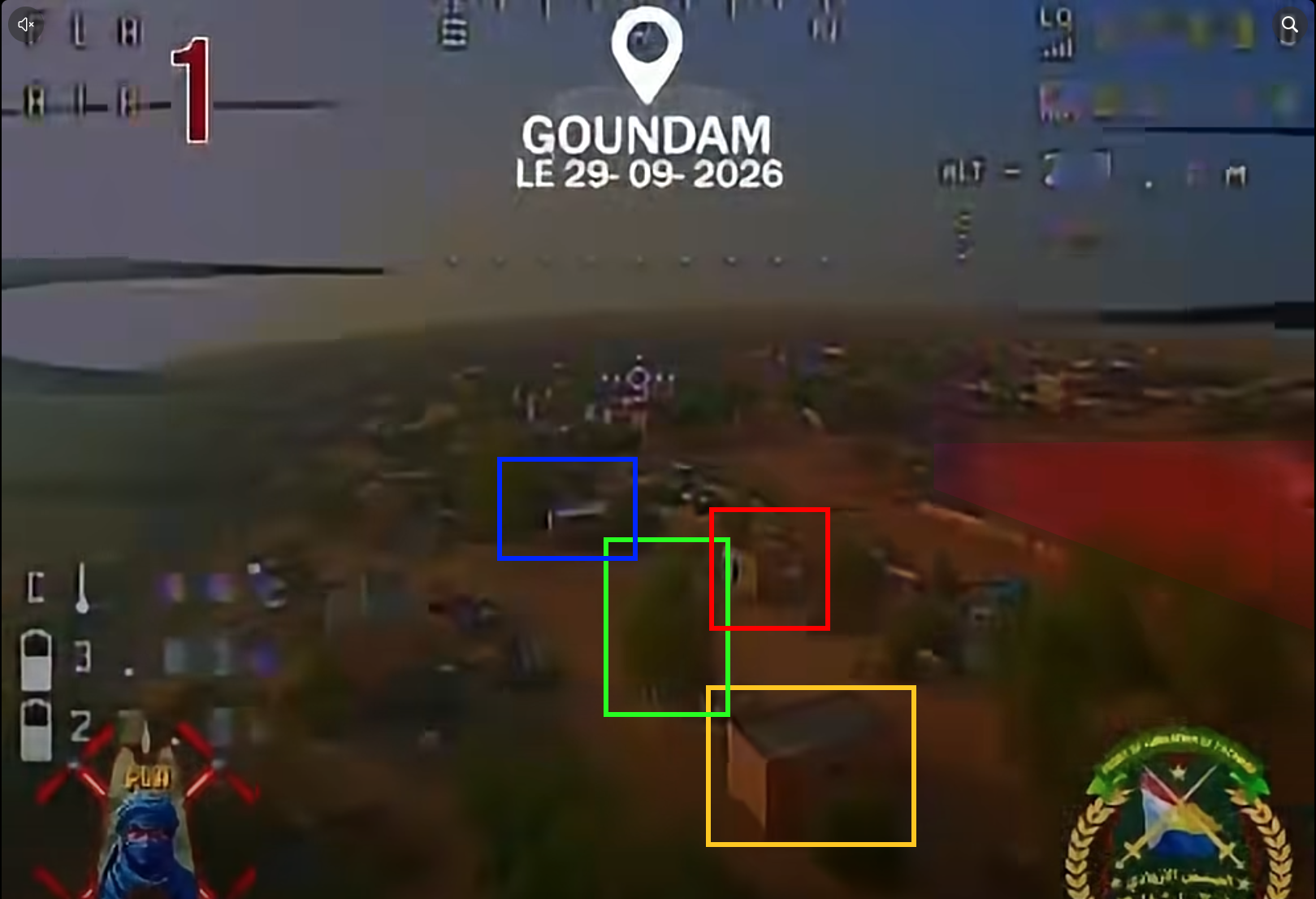
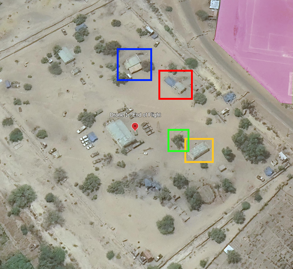
with the same elements highlighted
Analyzing the video of drone #2, we can map several elements from the video to Google Earth’s imagery. This includes the bridge that helped us chose this location in the first place.
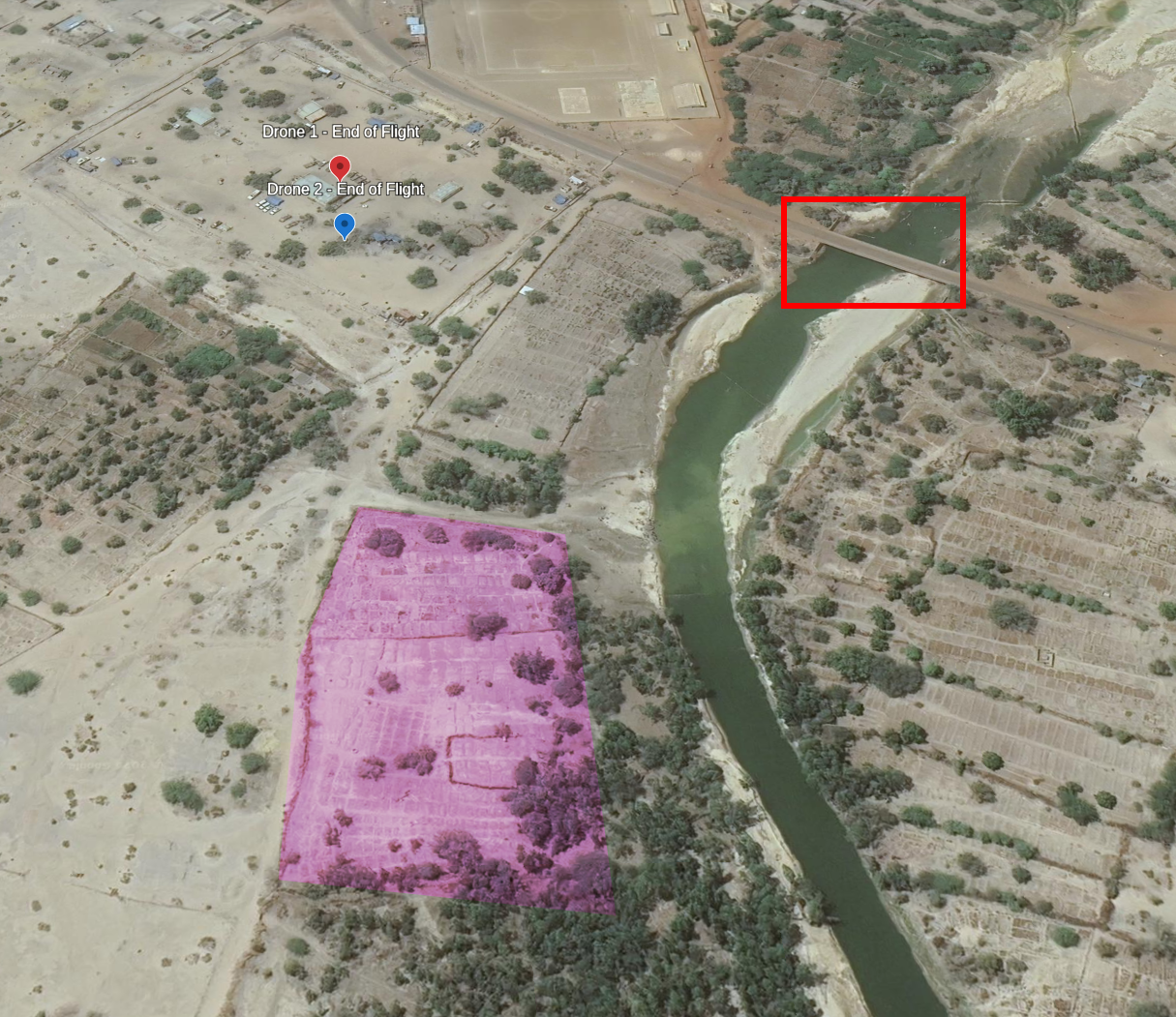
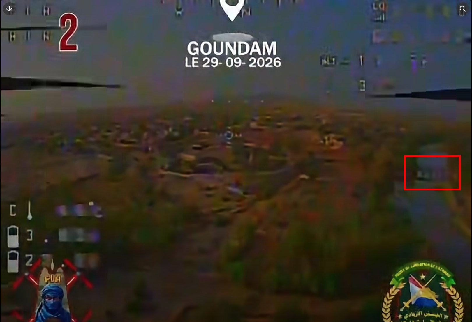
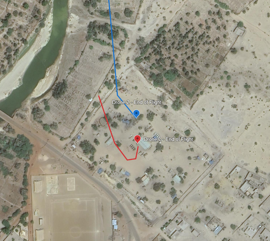
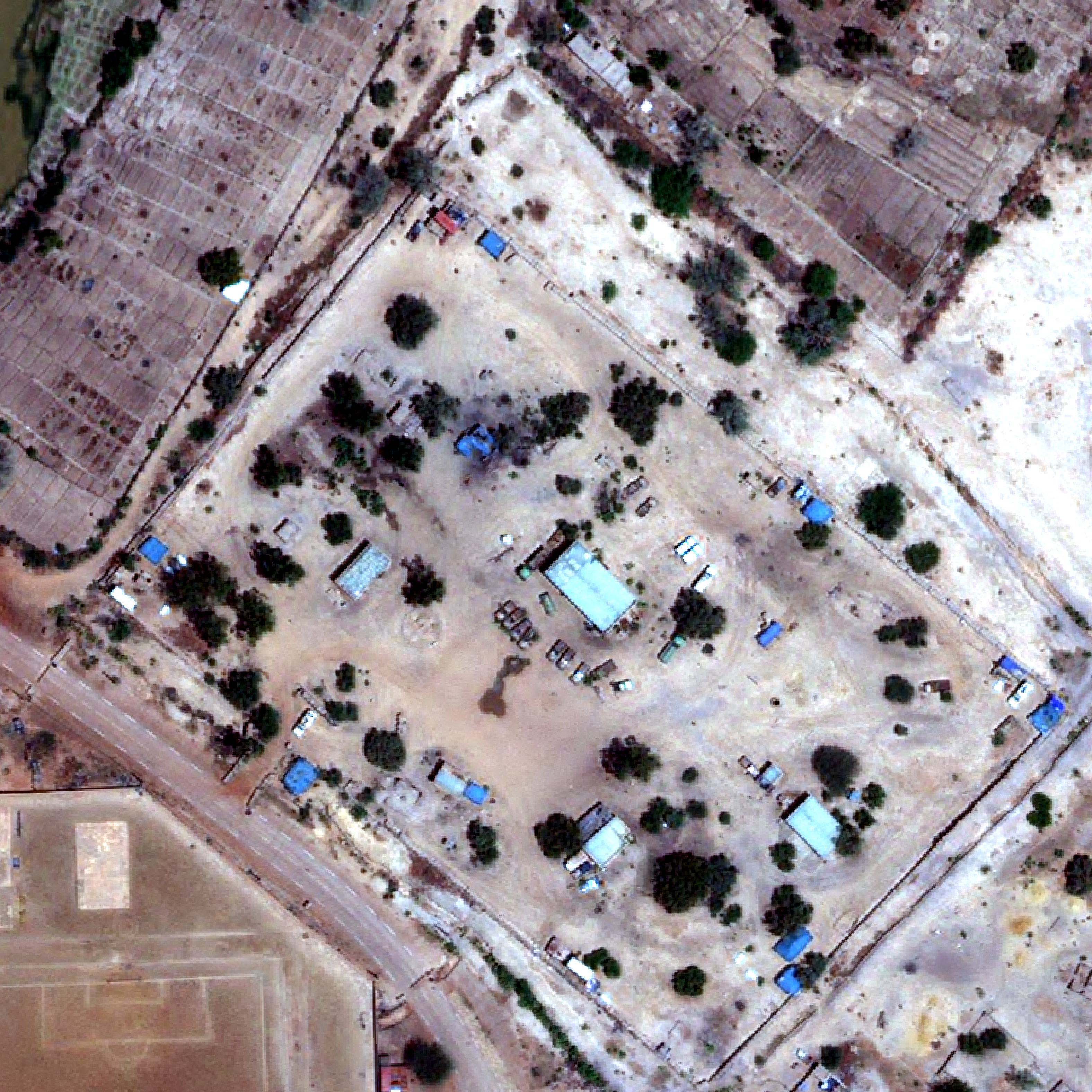
This gives us the following flight path for both drones. Using a more recent image from Vantor, dated 11 days before the attack, we can confirm the end of flight of drone #1. The setup of the trucks and liquid container matches with the first image of the video, helping us confirm the location.
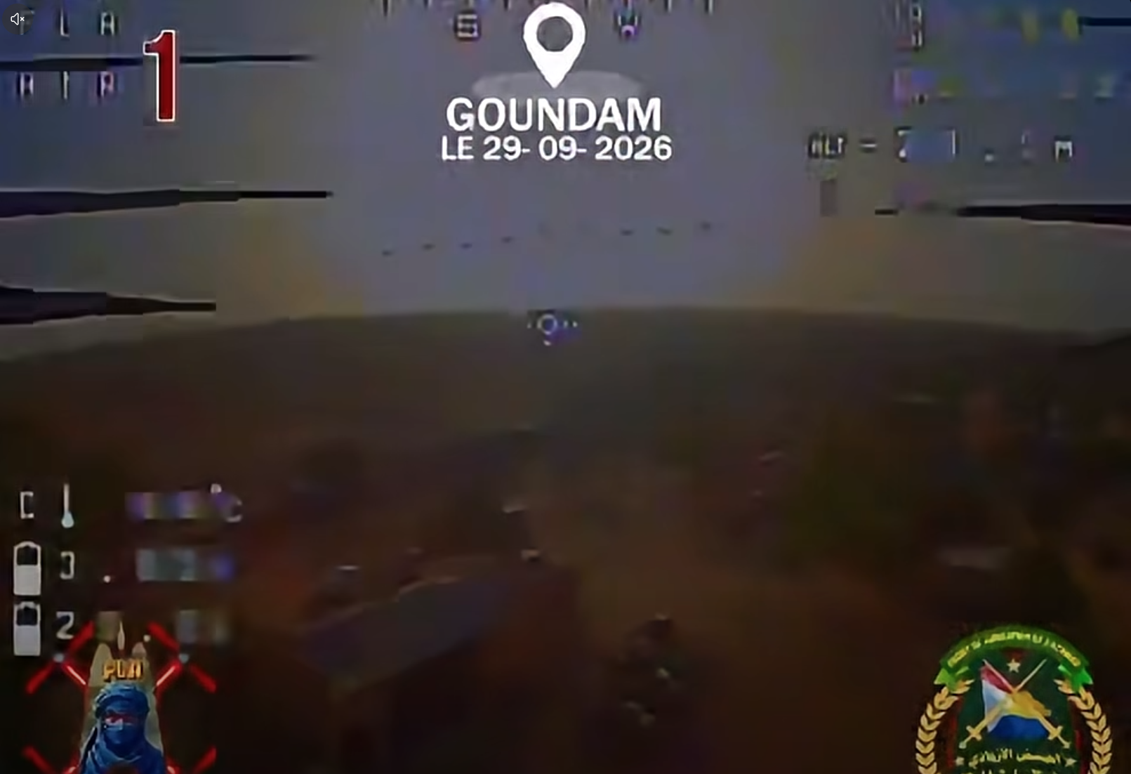
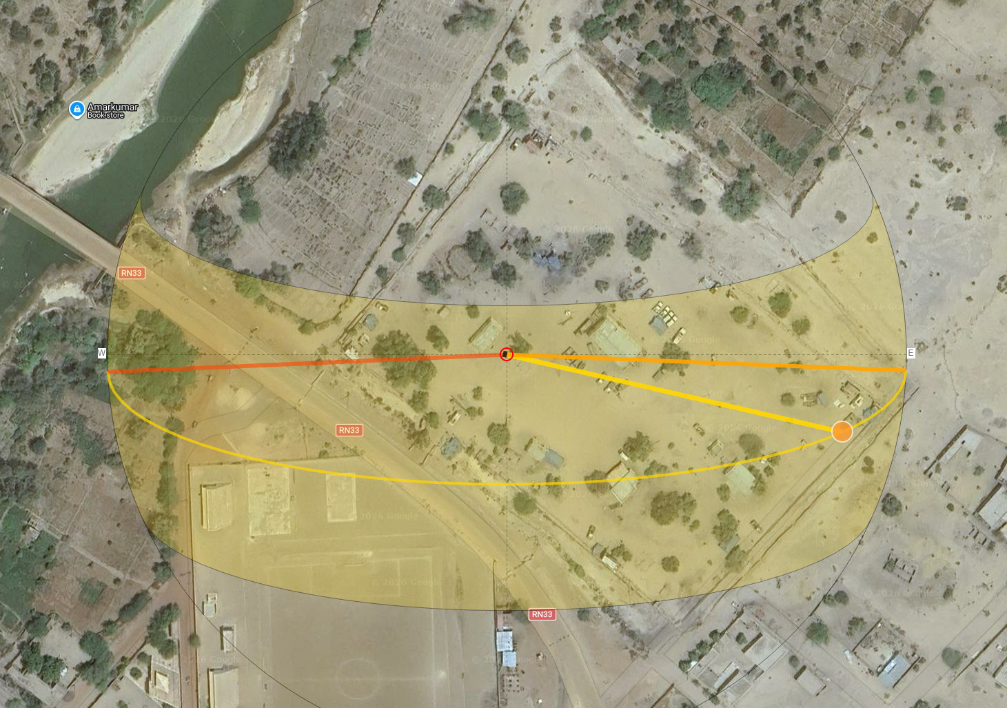
The position of the sun also matches our candidate: using footage from drone #1. In the screenshot below, the building in the lower left corner of the is the structure next to the liquid container targeted by the drone. Using Suncalc we can assess that the footage does match that location and the time mentioned by the FLA spokesperson, most likely around 8AM UTC.
Conclusion
According to the video, drone #2 seemingly ended its flights in a cluster of trees. A fact mocked by a Wagner adjacent Telegram channel a day after the attack.
The final frames of the video for each drone have been located to 16.41319°N 3.65451°W (Drone #1) and 16.41358°N 3.65453°W (Drone #2) with a high level of confidence. We can assess with low confidence that the attack happened around 8AM UTC.